DocsGetting started
What Veeee is
Veeee gives organizations indoor maps that visitors navigate from their phone’s browser, with the camera finding where they stand.
On this page
Veeee is indoor navigation for buildings: campuses, museums, hospitals, hotels and office portfolios. An organization maps each building once. Visitors then open a link, name where they want to go, and get walking directions from where they stand. No app is installed and no account is needed to navigate.
Where outdoor navigation relies on GPS, Veeee works where GPS does not reach. A visitor’s position is recognised from what the phone camera sees, compared against reference images the organization captured at each location. Routes follow the locations and connections the organization mapped, including stairs, elevators and doorways across floors.
Two sides of the product
| Organizations | Visitors | |
|---|---|---|
| Who | Owners, administrators and staff of a building | Anyone the organization shares a link with |
| Where | The signed-in workspace at /dashboard | A public web page at /navigate/{organization}/{building} |
| What they do | Create indoor maps, mark locations and connections, add reference images, publish | Name a destination, let the camera find them, follow turn-by-turn directions |
| Account | Required, with roles Owner, Admin and Staff | None |
The rest of this documentation is split the same way. For organizations covers mapping and publishing. Navigation covers what a visitor sees and does.
What an indoor map contains
- Locations: the places a visitor can start from, pass through or arrive at. Each has a name, a type (room, hallway, stairs, elevator, entrance, exit, landmark or outdoor) and a floor.
- Connections: the walkable links between two locations, with a distance in metres, a type (hallway, door, stairs, elevator, outdoor path) and whether they are step-free.
- Reference images: photos or short videos of each location that teach Veeee what the place looks like, so a visitor’s camera can be matched to it.
- Points of interest: optional display names, aliases and keywords that help a visitor’s request resolve to the right location. See Points of interest.
- Events: optional, time-bound notices attached to a location that visitors walking nearby are told about.
Try it without signing in
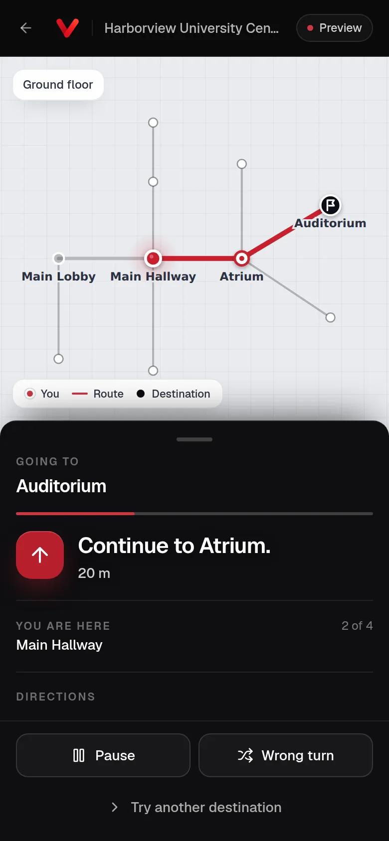
The Preview shows a simulated walk through a fictional building, Harborview University Center. It runs entirely in the browser, uses no camera and sends nothing anywhere. It is the quickest way to see what a visitor experiences before mapping a real building.